
Elk Grove Neighbors: Block Source Map
An Elk Grove neighbor lookup has no official household roster. The useful starting point is a controlled set of sources, each with a different view of the same block. Assessor GIS shows adjacency and APNs. The secured roll can supply public ownership and mailing fields through controlled channels. City GIS adds boundaries, districts, and projects. Approved voter data can be geographic when the requester has a lawful purpose. Neighborhood organizations provide public board or contact channels, not member lists.
| Source | What It Shows About a Block | Access |
|---|---|---|
| Assessor GIS | Adjacent parcels, APNs, site and map context | Free map browse and identify tools |
| Assessor secured roll | Controlled owner and mailing-address fields | Lobby, parcel inquiry, or records request |
| Elk Grove City GIS | City boundaries, districts, projects, and approximate map layers | Free maps, downloads, and printed-map route |
| Approved voter file | Permitted geographic registration fields and precinct context | Application, ID, purpose, approval, and payment |
| Neighborhood organizations | Public board or contact channels for named community groups | Voluntary public contact; no official household roster |
The table keeps an owner, a registrant, a parcel, and a community group distinct. For the Elk Grove block, that separation prevents a public map from becoming an invented household list. A source may be public without being published online, and a map may be useful without identifying anyone. The goal is to describe the block accurately, not to fill in private household details that the record does not contain.
Map Elk Grove Neighbors by APN
Start with one exact, USPS-normalized address. The Sacramento County Assessor Parcel Viewer lets a researcher search by address or APN, pan, zoom, identify parcels, and inspect map context. A parcel line is an assessment aid, not a legal boundary. For a neighbor lookup, adjacency is the key question, so street side and the nearest intersections should be written down before any ownership inquiry.
- Select the target address or APN in the assessor map and record the parcel number and situs address.
- Record every parcel that touches the target, noting the street side and the intersection or driveway relationship.
- Click outward one parcel at a time, instead of drawing a large radius that can include land behind the target.
- Resolve public ownership only through the assessor's permitted channels, and keep mailing address separate from situs.
- Use independent evidence before describing an owner as a resident, then stop at the edge of the lawful record.
A radius or buffer can over-include parcels behind the target and obscure the shape of a real block. This keeps a map of nearby parcels tied to intersections instead of an arbitrary circle. Once the question expands from adjoining parcels to a whole named street, the Elk Grove by-street records provide the broader address chain.
Click Elk Grove Parcels One by One
The web parcel viewer supplies APN, situs, assessed values, tax-rate or land-use information, and limited characteristics, but owner names are intentionally withheld online. The secured roll still treats owner, property address, mailing address, value, exemption value, tax-rate area, zoning, land-use code, recorder reference, maps, and characteristics as public fields subject to the documented access route.
Assessor staff answer up to two parcel-specific ownership inquiries per day by phone at 916-875-0700 from 8 to 4 or by email at assessor@saccounty.gov. The public lobby at 3636 American River Drive Suite 200 has self-service computers, and electronic rolls may be requested free. A records request is another route. Name-only portfolio searching is not available through the remote channels, so an address or APN should come first.
The Sacramento County Assessor public-records information shows why a map search and an ownership request are separate steps.
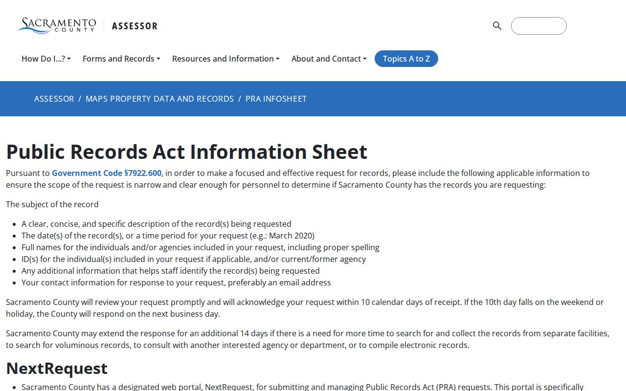
The map can identify the parcels around an Elk Grove address, while the controlled roll route supplies only the public fields that the custodian permits.
Resolve Elk Grove Owners Through Controlled Channels
The secured assessment roll distinguishes the property address from the owner's mailing address. Matching them may suggest that the owner is tied to the parcel, but it does not prove who is home now. A different mailing address may reflect a trust, an absentee owner, a management address, or a preferred destination. Occupants and other household members do not appear on the ownership roll, and an exemption value does not open the confidential claim behind it.
Recorded deeds add a title trail. The Sacramento County Recorded Document Index reaches documents recorded since 1849 and searches by party name and recording year, but it identifies records rather than displaying instrument images. A deed names grantor and grantee and describes a transfer; it does not turn every title party into a neighbor or resident. Use the legal description and APN to keep the land match stable.
When an owner clue is needed, obtain only the public ownership information available through the lobby, parcel-specific inquiry, or request process. For nearby households, the same rule applies: do not infer a household from a name, a mailing address, or a title document alone.
Elk Grove Voter Geography Has Purpose Limits
California My Voter Status is an authenticated self-lookup, not a public neighbor search. It is designed for a voter to retrieve their own registration, party, ballot status, polling or Vote Center, and district information. It is not a lawful way to display every name on an Elk Grove street.
The California My Voter Status portal asks for first name, last name, date of birth, and, when held, a California driver license or ID or the last four digits of a Social Security number. A match can show registration status and address, party preference, election-material language, vote-by-mail or provisional status, polling place, upcoming election, and election-office contacts. Those details belong to the authenticated voter.
The California voter-status search illustrates the self-authenticated route behind a civic clue on the block.
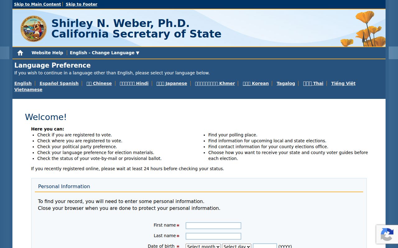
The screen is for the voter who owns the identifying details, not for opening a third-party block list.
For a permitted geographic file, Sacramento County requires an application, wet signature, current government photo ID, a stated purpose, a security plan, and delivery details. Elections Code section 2194 and 2 CCR sections 19001-19013 limit access. Approved purposes include election, scholarly, journalistic, political, or governmental use. The data may not be sold onward without written county authorization, and protected records remain withheld.
The Sacramento County voter-file information page shows the application and purpose boundary relevant to a block-level neighbor question.
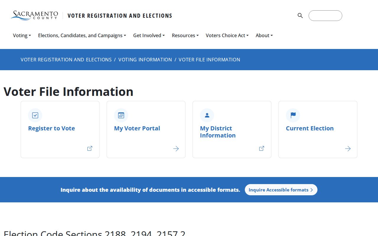
Even an approved file is a defined geographic product, not a casual street list. Specific-record requests require full name, date of birth, county, and present or former address, with a maximum of ten records per application.
Elk Grove Neighbors Need Civic Clues
A voter registration can show that a person was registered at a residence under the approved rules. It cannot establish present physical presence, the people in the home, or a relationship between two nearby addresses. Election participation history may show participation, never ballot choices. Driver-license data, Social Security numbers, signatures, and Safe at Home addresses remain confidential.
Use the source date and geography when interpreting a voter result. A precinct or district layer can help describe the civic setting of a block, while the assessor and city maps describe land and jurisdiction. None should be treated as a current directory of nearby households.
Note: A lawful geographic extract answers the purpose and fields approved in the application, not an open-ended question about everyone who lives nearby.
Elk Grove Neighbors and Associations
Elk Grove's address-based neighborhood tool identifies the nearest association or group and points residents to the City for contact information. The named map associations are territorial or community layers. They do not prove membership, residence, or participation, and no official household roster was located.
| Named association layer | Public contact route | How to use it |
|---|---|---|
| Arcadian Village, Fallbrook, Hop Ranch, Laguna Creek Seasons | City address-based map; Susan Obad, 916-478-3649 | Use the map to identify the nearest group, not its members |
| Laguna Riviera, Laguna Springs, Miko, Camden | City contact channel and public board information when supplied | Community context only; confirm group boundaries with the City |
| Parkgate, Quail Ranch Estates, North Laguna Creek | City address-based map and public organization contact | Do not infer membership from a layer name |
Other HOA layer names appear in the map, including Laguna West, Lakeside, Stonelake, Heritage Lakeside, Monterey Village, Glenbrooke, Wisteria Place, Laguna Lake, Laguna Mirage, Laguna Pointe, and Sheldon Terrace. These groups can help neighbors find a public contact channel, but a layer can help orient a civic or neighborhood question without becoming a private roster. The Elk Grove neighborhood association map is the appropriate public starting point.
Elk Grove Neighbors: GIS Context
The City Information Gateway and GIS maps include city boundaries, council districts, planning and development projects, active encroachment permits, street-sweeping and irrigation layers, census context, and downloadable maps. City map locations are approximate. A printed map can be ordered from Community Development at 8401 Laguna Palms Way; the research lists 18 by 24 inch maps at $20 and 24 by 36 inch maps at $30, normally prepared in two to three business days.
Use a city layer to explain why two nearby parcels fall under different project or district contexts. GIS helps neighbors understand a block's civic setting, not the identities inside its homes. Do not use the layer to name occupants. City records are mainly post-incorporation, while earlier southern Sacramento County functions may sit with county custodians. That city and county seam matters when a block has a long record history.
Compare Elk Grove Rolls with Commercial Tools
Commercial neighbor tools may combine broker, directory, property, and other feeds into a single result. They can be stale, merge people with the same name, omit protected residents, and charge for repackaged public material. Official sources are narrower, but their custodian, scope, and access rule can be checked.
| Source category | Useful strength | Limit to keep in view |
|---|---|---|
| Assessor GIS and secured roll | Parcel shape, APN, public ownership and mailing fields through controlled channels | Owner is not automatically a resident; confidential fields stay closed |
| City GIS | Boundaries, districts, projects, and neighborhood map context | Approximate layers do not identify households |
| Approved voter file | Defined registration geography for an approved purpose | No anonymous street list; protected data withheld |
| Neighborhood organizations | Public board and contact channels for community groups | Voluntary layer; no official household roster |
| Commercial neighbor tools | Convenient aggregation of varied feeds | Source dates, identity matches, and lawful use may be unclear |
For an Elk Grove neighbor lookup, the official chain is slower but legible: map the APNs, identify the lawful record channel, preserve the date, and label the result as parcel, owner, registrant, or community evidence.
Privacy Limits on Elk Grove Neighbors
Safe at Home supplies a substitute address for qualifying survivors and specified protected people. Voter signatures, driver-license and Social Security data, protected addresses, and confidential assessor materials are withheld. A map cannot lawfully be used to work around those protections, and a public owner field cannot be expanded into a private household list.
California's official Megan's Law site requires a disclaimer acceptance before its name or map search. Penal Code section 290.46(j) prohibits using registry information to commit a crime or harass. It is a safety registry, not a neighbor directory, and a name, age, or address alone can produce mistaken identity. Corrections belong with local law enforcement or the state registry contact.
The California Megan's Law official map and name search illustrates why a registry result must remain within its legal warning.
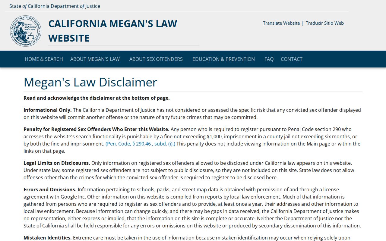
The registry screen is not evidence that a person is a neighbor, and it should never be used to contact, watch, threaten, or intimidate anyone.
Lawful use. Use Elk Grove neighbor records for personal, lawful research, local history, civic context, or safety awareness. Never use a map, roll, voter record, registry, or organization contact to stalk, harass, threaten, or intimidate anyone.