
Elk Grove ZIP Code Coverage
Elk Grove's street-delivery ZIP set is 95624, 95757, and 95758. ZIP 95759 is a PO-box-only assignment, so it should not be read as a street neighborhood. The postal footprint also reaches beyond the incorporated city at some edges. Use the table as a research starting point, then verify an exact address with the United States Postal Service before attaching a person, parcel, or record to a ZIP.
| ZIP | Areas Covered | Post Office | Notes |
|---|---|---|---|
| 95624 | Older and eastern Elk Grove, Old Town vicinity, east-side neighborhoods, and fringe postal areas | Elk Grove Post Office, 8850 Williamson Drive | Postal area can extend beyond some city boundaries |
| 95757 | Newer south and west Elk Grove, including the Franklin and Laguna Ridge vicinity | Verify the exact address through USPS | No separate 95757 retail station was verified |
| 95758 | Laguna and central-west Elk Grove | Laguna Postal Store, 9105 Bruceville Road Suite 1A; Laguna Carrier Annex, 8215 Longleaf Drive | Postal Elk Grove and city limits are not identical at every edge |
| 95759 | Elk Grove PO boxes | Verify the box and facility through USPS | PO-box-only; not a street-delivery neighborhood |
The listed facilities are reference points, not proof that every address in a ZIP is served from that counter. USPS exact-address verification controls. A ZIP code directory can sort postal clues, but it cannot decide whether a parcel is inside Elk Grove, which agency issued a permit, or who occupies a home.
95624: Elk Grove's Older Eastern Address Trail
ZIP 95624 reaches the older and eastern side of Elk Grove, including the Old Town vicinity and nearby fringe geography. The research trail here often begins with older county records, deed references, maps, and local-history collections rather than a newer subdivision layer. A postal label marked Elk Grove is useful for narrowing the search, but the same ZIP can continue past an incorporated boundary.
For a long-lived address, compare the USPS result with the Sacramento County Assessor parcel viewer, the recorded document index, and Elk Grove or county GIS layers. Historical names may appear under Sheldon, Franklin, Florin, or rural Sacramento County rather than the modern city name. Sanborn maps from 1884, 1891, 1895, 1905, and 1912 can show an old street layout and building footprint, but they do not normally name occupants.
A 95624 ZIP code directory search is therefore a place-and-time question. The postal code can locate the present delivery zone, while the deed, legal description, and map determine whether an older reference describes the same land.
95757: South and West Elk Grove Records
ZIP 95757 covers newer south and west Elk Grove, including the Franklin and Laguna Ridge vicinity. Rapid-growth subdivisions make city planning layers, permit data, project maps, and parcel GIS useful companions to the postal code. Those sources may show a subdivision or street context even when a postal search only returns delivery information.
No separate 95757 retail station was verified in the research. That absence is a reason to use the USPS address tool, not a reason to assume that a nearby 95758 facility or a city office sets the ZIP. Record the returned ZIP, postal city, normalized street address, and any suite or box detail exactly as USPS supplies them.
Growth also creates a record-date issue. A current 95757 address may have a county history before Elk Grove records begin, while a later permit or planning project may be held by the city. The ZIP remains a delivery key; it does not replace a jurisdiction check for the date of the record.
95758: Laguna's Elk Grove Postal Trail
ZIP 95758 covers Laguna and central-west Elk Grove. The Laguna Postal Store is at 9105 Bruceville Road Suite 1A, and the Laguna Carrier Annex is at 8215 Longleaf Drive. Those facility names help explain the postal trail, but the exact address lookup remains the authority for a particular delivery assignment.
Laguna history also crosses custodians. The city became incorporated on July 1, 2000, and the 2003 Laguna West annexation added about 13,400 people. A present 95758 address may therefore have older Sacramento County permits or property records and later city permits, even though the postal label did not change with the civic record.
When a ZIP narrows the geography, compare the returned address to the parcel's APN, situs, and mailing fields. A postal directory is most useful when it sends the search toward the right parcel and record date instead of being treated as a list of everyone in Laguna.
95759: Elk Grove PO-Box ZIP Limits
ZIP 95759 is PO-box-only in the research set. It is a box and facility assignment, not a street-delivery neighborhood, so a ZIP-wide resident search cannot be read as a map of nearby homes. The box holder, the person who receives mail, and the owner or occupant of a parcel are different questions.
Use the USPS tool to verify the box or facility, then keep the returned postal data separate from a street address. If the research question concerns land, use the parcel viewer and APN. If it concerns a person, use a source that can lawfully answer the narrower question, such as a court, license, vital, or historical record.
Find Elk Grove Residents by ZIP
A safe ZIP code directory workflow has two checks. USPS answers the delivery question. Elk Grove GIS answers the civic map question. Neither one alone creates a current resident roster, and neither one proves that a mailing label and a property boundary share the same jurisdiction.
- Enter the complete, USPS-normalized street address, including a unit, suite, or box when one exists.
- Save the returned ZIP, postal city, and formatted address without changing its spelling.
- Open the Elk Grove GIS maps and City Information Gateway to test the city boundary, districts, and project layers.
- Use the Sacramento County Assessor parcel viewer to locate the APN and parcel shape, while remembering that owner names are omitted from the web result.
- Once a ZIP is narrowed to a street, move to the Elk Grove by-street records for address-keyed work.
The USPS ZIP Lookup is the authoritative address check represented here.
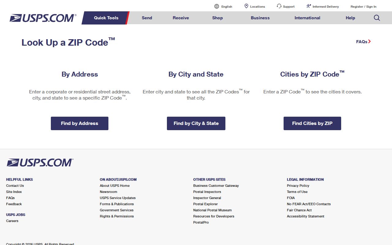
Its returned postal line should be copied into notes before a separate GIS or parcel check begins. That preserves the difference between what USPS delivers and what the city or county governs.
Elk Grove Keys: APN, Situs, Mail
Address fields are not interchangeable. An APN is the assessor's parcel identifier. A situs address identifies the property location used in the assessment record. A mailing address is where the owner or tax correspondence is sent. A legal description identifies land through a subdivision, lot and block, parcel map, or metes-and-bounds language. The mailing ZIP may sit beside any of those fields without changing what they mean.
- ZIP
- A USPS delivery construct used to route mail; it is not a city or parcel jurisdiction.
- ZIP+4
- An added four-digit segment that narrows delivery within a ZIP; it does not create a new municipality.
- PO-box ZIP
- A ZIP assigned to post-office boxes or a facility rather than to a normal street-delivery neighborhood.
- Carrier route
- A postal delivery route inside a ZIP; it is a routing layer, not a household or parcel roster.
There is no verified separate ZIP split or realignment year for Elk Grove in the research. Do not turn a change in subdivision growth, annexation, or postal wording into an invented boundary event.
Elk Grove ZIPs Versus City Limits
A ZIP is not a municipality, parcel jurisdiction, or permit boundary. The postal area labeled Elk Grove can extend beyond portions of the incorporated city, and a city boundary can be checked only through the relevant GIS or civic record. The Sacramento County ZIP map and USPS lookup help with postal geography, while the city GIS layers help with incorporation, districts, and projects.
The local library adds a useful human-history angle. The Elk Grove Library branch information places a public research stop at 8900 Elk Grove Boulevard, while deeper directory, newspaper, map, and genealogy work is centralized in the Sacramento Room. That shelf can explain why an old address appears under a rural name even when its current ZIP is familiar.
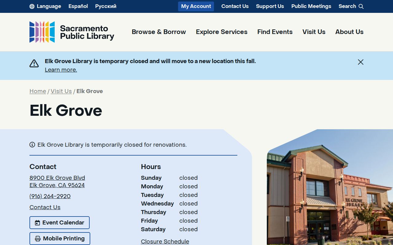
Library and local-history material can supply context for a place, but it does not override USPS or the parcel custodian for a current address decision.
Elk Grove ZIP History: No Verified Split
The city and postal landscape changed as Elk Grove grew from a stage-stop and agricultural community into an incorporated city. The 2003 Laguna West annexation added about 13,400 people, which helps explain a large change in the local record landscape. It does not establish that a ZIP split or postal realignment occurred that year. A ZIP code directory should record that uncertainty.
For a historical address, use maps, deeds, the Recorder's party index, library directories, and newspaper or yearbook clues in the order that fits the record date. The California State Archives holds state and selected local-government historical material, but a catalog mention is not proof that a particular Elk Grove volume is held there. Contact the archive before assuming a specific file exists.
The California State Archives collections page shows the archive route for deeper historical research.
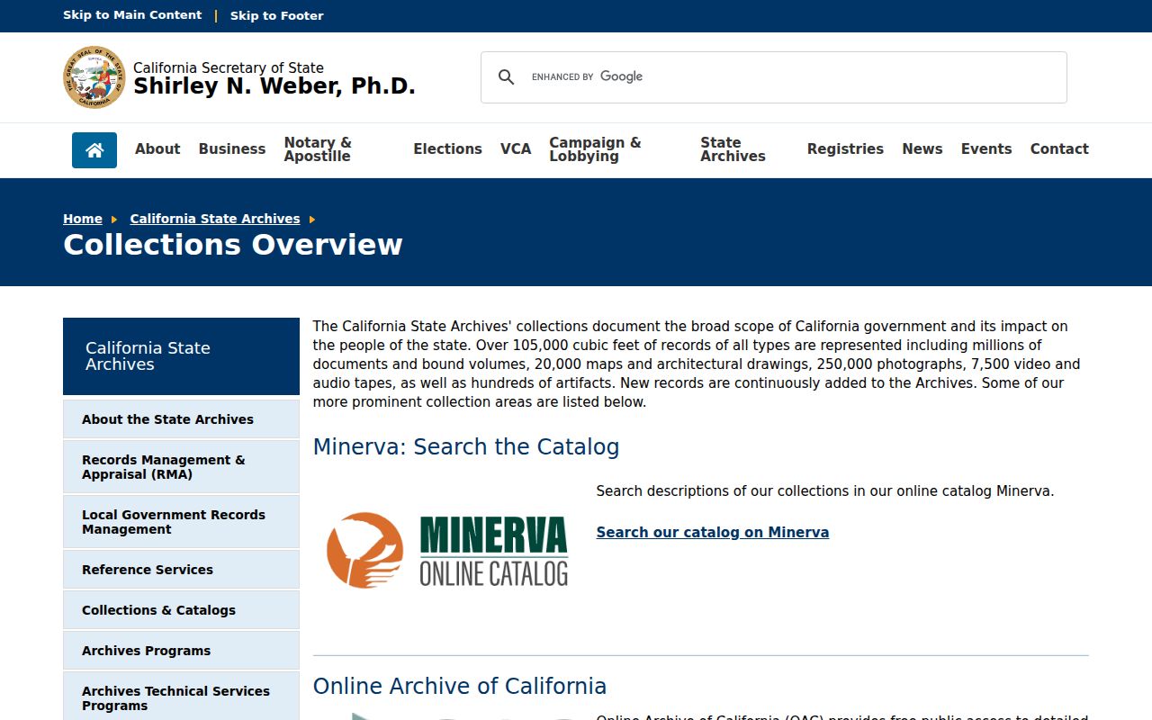
Archives, library shelves, USPS verification, and city GIS each answer a different part of the address story. Keeping those roles separate prevents a postal label from becoming an unsupported claim about a person or parcel.